
Drone scouting gives farmers a faster and more detailed view of their fields than traditional scouting methods alone. At Greene County Agronomy Services, we utilize advanced drone technology to capture high-resolution aerial imagery that helps identify potential issues before they become costly problems. By covering large acreages quickly and efficiently, our drone scouting services provide valuable insights that help growers make timely, informed management decisions throughout the season.
Our drone technology allows us to detect crop stress, stand establishment concerns, weed pressure, insect activity, disease outbreaks, and nutrient deficiencies that may not be visible from the ground. Early identification enables growers to take corrective action sooner, helping protect yield potential and improve overall crop performance. Whether you are monitoring crop emergence, evaluating field conditions after severe weather, or tracking crop health during critical growth stages, drone scouting provides the information needed to stay ahead of challenges and maximize productivity.

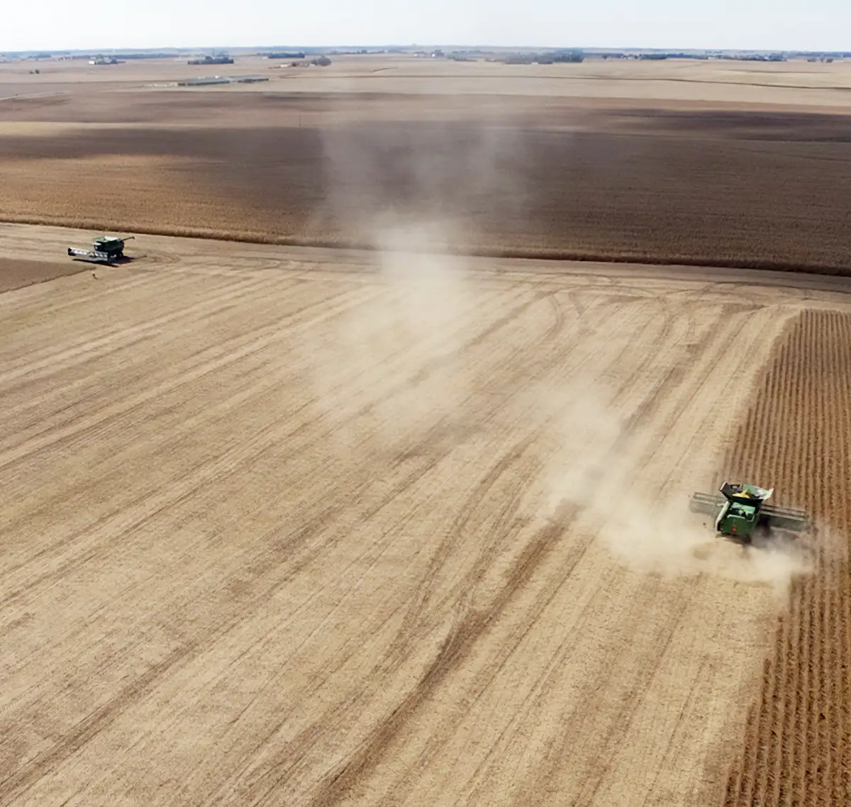
Drone mapping helps transform aerial imagery into practical information that can be used to improve efficiency, reduce input costs, and support stronger yields. Greene County Agronomy Services provides detailed field mapping solutions that give growers a better understanding of variability across their acres and allow for more precise management decisions.
Using advanced software and drone-collected data, we create geo-referenced maps that highlight differences in crop health, plant vigor, elevation, drainage patterns, and overall field performance. These maps help identify areas that may require additional attention and provide a clearer picture of how crops are performing throughout the season.
Our mapping services include vegetation health assessments, stand count analysis, elevation mapping, drainage evaluations, and treatment verification. We can also provide NDVI imagery and other data layers that help growers monitor crop development and evaluate the effectiveness of management practices.
By combining innovative drone technology with local agronomic expertise, we help farmers turn field data into actionable insights. The result is a more informed approach to crop management that supports better decision-making, improved efficiency, and stronger returns across every acre.
We are with you every step of the way. Your success is our success, and we’re honored to be part of your journey.
Make more informed decisions with accurate, real-time insights from Greene County Agronomy Services. Our drone scouting and mapping solutions help growers identify potential issues early, monitor crop health throughout the season, and gain a better understanding of field performance across every acre. Whether you are looking to improve efficiency, evaluate crop conditions, or support precision agriculture initiatives, our team is ready to help you turn field data into actionable results.
Contact us today to learn more about drone scouting and mapping services in Jefferson, Iowa and the surrounding farming communities.